The Philippine Atmospheric, Geophysical, and Astronomical Services Administration (Pagasa) on Monday said weather disturbance “Nika” has intensified into a tropical storm as it left the Philippine area of responsibility (PAR).
In its 5pm bulletin, Pagasa said ''Nika'' left the Philippine Area of Responsibility around 11am and it is forecast to move west or west-northwest at 20 kph over the northern portion of the West Philippine Sea.
“'Nika' intensified into a tropical storm at 2 pm and will continue to intensify over the West Philippine Sea over the next 24 hours. It is forecast to reach a severe tropical storm category tomorrow (October 13) morning,” the weather bureau said.
It was last spotted at 520 km west of Sinait, Ilocos Sur with maximum sustained winds of 65 kph and gusts up to 80 kph.
“On the forecast track, 'Nika' will make landfall over Hainan Province in southern China tomorrow (October 13) afternoon or evening,” Pagasa said.
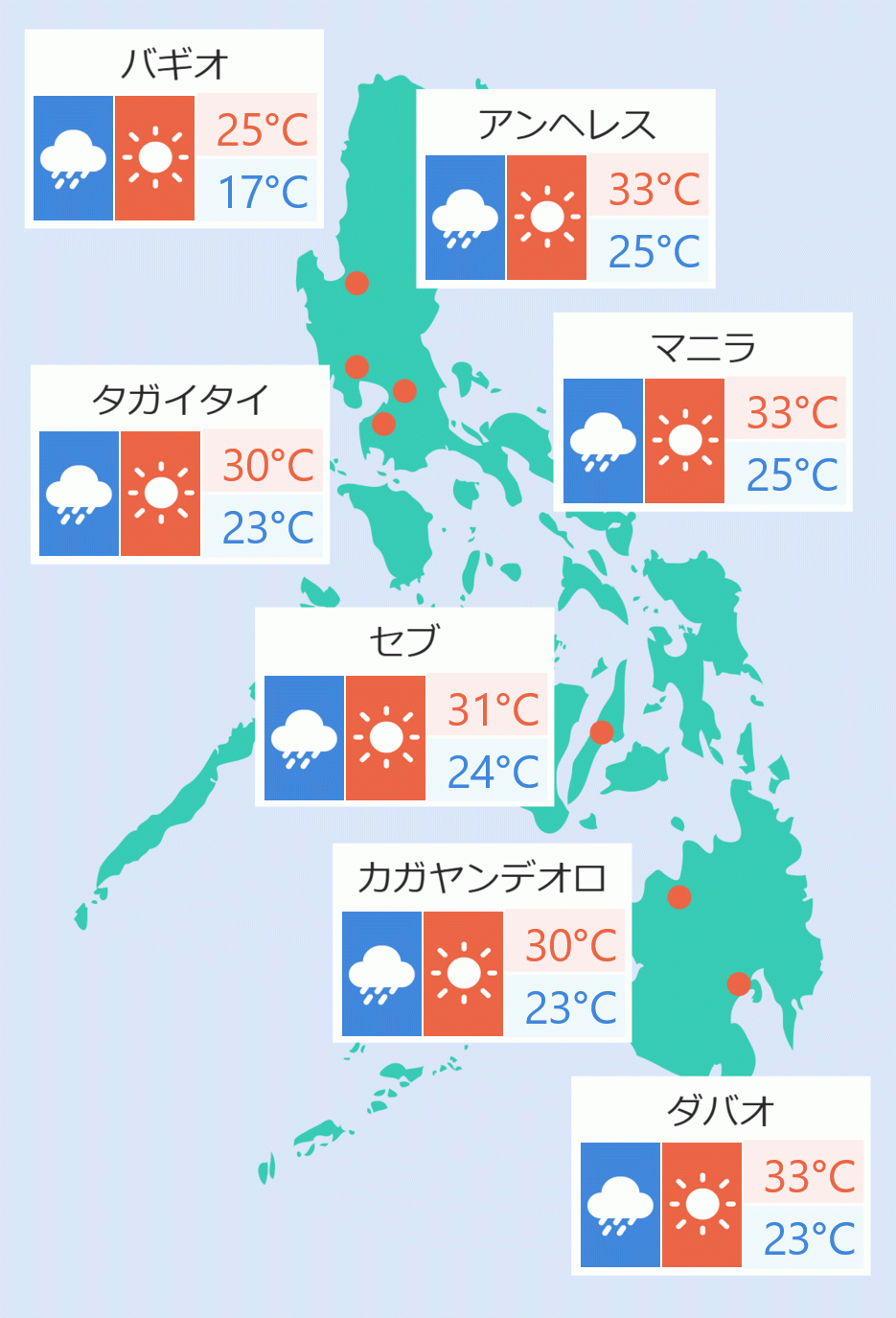
According to Pagasa, on Monday through Tuesday morning, ''Nika'' and the southwest monsoon will bring light to moderate with at times heavy rains over Metro Manila, Ilocos Region, Cordillera Administrative Region, Cagayan Valley, Central Luzon, Calabarzon, Camarines provinces, Mindoro provinces, and Palawan (including Kalayaan, Calamian, and Cuyo Islands).
Pagasa said no tropical cyclone wind signal is in effect.
“However, the enhancement of both the southwest monsoon and the northeasterly surface windflow will bring strong winds with occasional gusts over the northern and western section of Luzon, especially in coastal and mountainous areas,” it said.
Pagasa also said they are monitoring a low pressure area east of Surigao City that will bring scattered rain showers over Dinagat Islands, Surigao Provinces, and Davao Oriental.
It is forecast to move generally northwestward towards Bicol region-Eastern Visayas area on Monday through Wednesday and is likely to develop into a Tropical Depression within 48 hours. Ella Dionisio/DMS


 English


