


 English
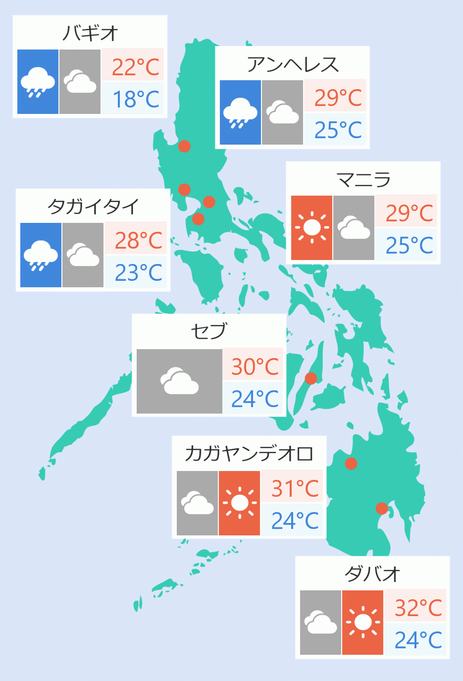
At least 26 were reported dead by the Office of Civil Defense as powerful Typhoon ''Tito'' made landfall five times in the Visayas,with Cebu taking the biggest hit on Tuesday.
In a television interview, Office of Civil Defense (OCD) Officer-in-Charge Asec. Bernardo Rafaelito Alejandro IV said based on initial reports 22 fatalities were recorded in Central Visayas, one in Western Visayas, two from Negros Island Region (NIR) and one from Eastern Visayas.
"These are being validated as we speak," Alejandro said.
Joseph Ace Durano, Cebu Provincial Administrator, told Bilyonario News Channel that volume of rainfall was high and high tide was experienced. ''It was like a double whammy and that is why the major rivers of Metro Cebu overflowed,'' he said.
Durano said flood control projects were unable to control flooding in Cebu. It may take a few days before flooding subsides, he said.
"Cebu Province is the most heavily affected by 'Tino' but it just crossed Antique and we are still in the middle of the response but so far ... most of the reported casualties are in Cebu that is why we are validating it. Our people are now on the ground," he added.
Alejandro noted that seven others were reported missing in Central Visayas.
As of 12 noon, the National Disaster Risk Reduction and Management Council (NDRRMC) reported a total 57,867 families or 187,536 persons affected by the typhoon. Of the total, 168, 553 people were displaced and being served inside the 1,628 evacuation centers.
''Tino ''with maximum sustained winds of130 kph near the center and gustiness of up to 180 kph, was moving at 15kph as it was spotted at the vicinity of Patnongon, Antique as of 5 pm, the Philippine Atmospheric, Geophysical and Astronomical Services Administration (Pagasa) said.
Calamian and Cuyo Islands in Luzon as well as the central and southern portions of Antique (Patnongon, Sibalom, Valderrama, Hamtic, San Jose, Bugasong, Anini-Y, San Remigio, Belison, Tobias Fornier, Laua-An), the central and southern portions of Iloilo (Calinog, New Lucena, Maasin, Oton, Pavia, Dueñas, Barotac Nuevo, Guimbal, Iloilo City, Tigbauan, San Miguel, Leon, Mina, Santa Barbara, Leganes, Dingle, Zarraga, Bingawan, Cabatuan, Alimodian, Dumangas, San Joaquin, Badiangan, Pototan, Lambunao, Tubungan, Igbaras, Janiuay, Miagao), and Guimaras in Visayas were placed under tropical cyclone wind signal number 4.
The state weather bureau forecast shows that after emerging at Sulu Sea on Tuesday, ''Tino'' is expected to traverse the northern Palawan area by early morning of Wednesday.
"It is expected to emerge over the West Philippine Sea tomorrow (Wednesday) morning and may exit the Philippine area of responsibility by tomorrow evening or Thursday early morning," it stated.
"Tino is forecast to steadily re-intensify over the next (few) days and may reach its peak intensity while over the West Philippine Sea," it added. Robina Asido/DMS