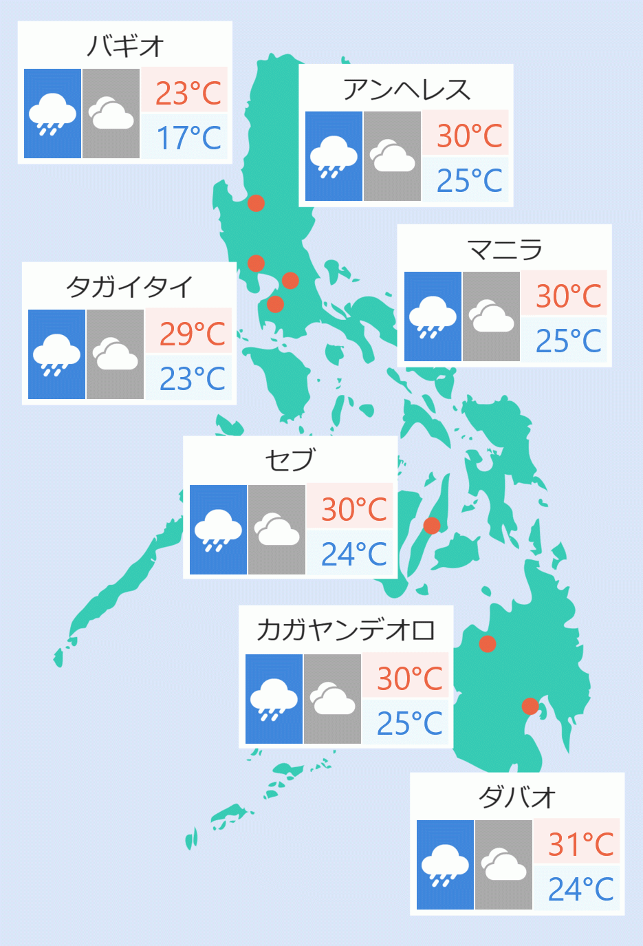
“Aghon” accelerated northeast over the Philippine Sea on Tuesday, the Philippine Atmospheric, Geophysical and Astronomical Services Administration (Pagasa) said.In a 5 pm bulletin, Pagasa said “Aghon” is forecasted to move generally northeast over the Philippine Sea and will leave the Philippine Area of Responsibility (PAR) by Wednesday afternoon.“It is moving away from our landmass and it is expected that by tomorrow afternoon or evening it will exit our Philippine Area of Responsibility,” Pagasa weather forecaster Lorie Dela Cruz said over dzBB.Pagasa lifted all wind signals but rains will be experienced in certain parts of the country.Metro Manila and the rest of the country are expected to have partly cloudy to cloudy skies with isolated rainshowers or thunderstorms due to localized thunderstorms.Cloudy skies with scattered rainshowers and thunderstorms will be experienced by the Ilocos Region, Zambales, Bataan, Occidental Mindoro, Palawan, Western Visayas, and Zamboanga Peninsula due to southwester windflow.Meanwhile, Batanes, Babuyan Islands, and Apayao are expected to have cloudy skies with scattered rainshowers and thunderstorms due to a frontal system.Pagasa said “Aghon” was last seen 535 km east of Basco, Batanes and was heading northeast at 30 kilometers per hour.It had maximum winds of 130 kilometers per hour and gusts of up to 160 kilometers per hour. Jaspearl Tan/DMS
''Aghon'' speeds northeast over Philippine Sea
2024/5/29
英字


 English


