Severe Tropical Storm Helen, with international name Megi, entered the Philippine area of responsibility on Saturday afternoon and a state weather forecaster said it may become a typhoon in 24 hours.
Helen entered the PAR at the eastern part of northern Luzon around 4pm, the state weather agency reported..
In a phone interview with the Daily Manila Shimbun, Jun Galang said based on the forecast track, Helen is expected to make landfall in the southern part of Taiwan by Tuesday morning and will be out of the Philippine area of responsibility in the afternoon of the same day.
The tropical storm was last spotted at 1,390 km east-northeast of Casiguran, Aurora with maximum sustained winds of 110 kph and gustiness of 140 kph while moving west northwest at the speed of 25kph and central pressure of 978 hectopascals.
Forecasters expect Helen to be at 840km east of Basco, Batanes by Sunday afternoon, then will on 340 km east-northeast of Basco by Monday and at 355 km north-northwest of Basco by Tuesday.
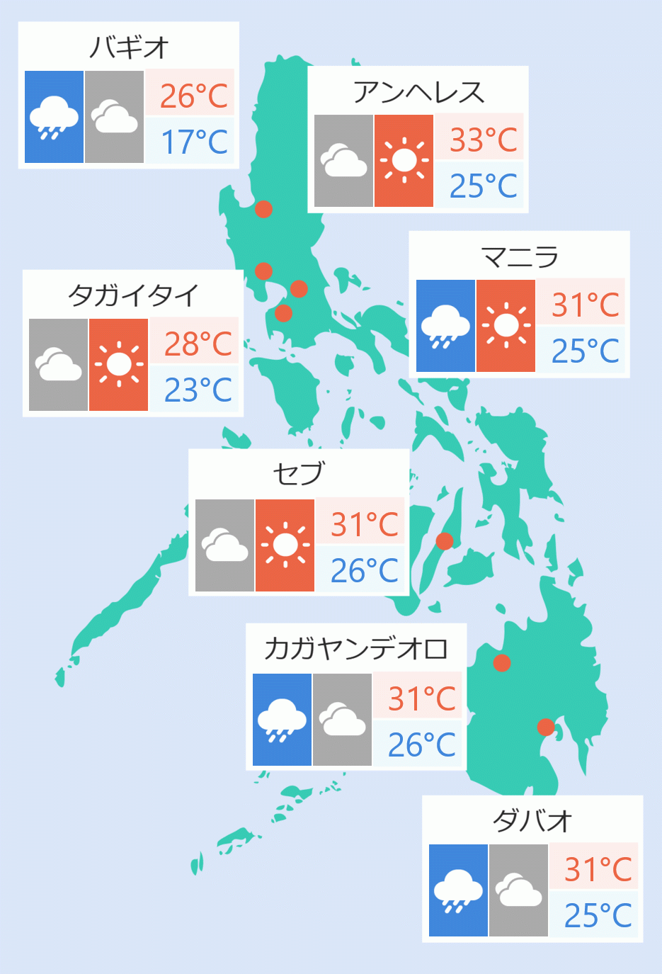
Forecaster Aldzar Aurelio said in a TV interview Helen is may bring stormy weather may be experienced in northern and central Luzon by Monday or Tuesday. Metro Manila is expected to experience “partly cloudy to cloudy skies with isolated showers and thunderstorms.” Robina Asido


 English


