The Philippine Atmospheric, Geophysical and Astronomical Services Adminstration (Pagasa) said that Tropical Depression ''Julian'' may become a typhoon on Sunday as it maintains its strength over the east of Batanes within the Philippine Sea.
"There is an increasing chance that the track forecast will shift westward in the succeeding bulletins, bringing the projected path of Julian closer to Extreme Northern Luzon." Pagasa added
Pagasa said the highest tropical cyclone wind signal that may be hoisted as ''Julian'' continues to strengthen is up to no. 3 or 4.
Moderate to heavy rains are expected on Cagayan until Saturday afternoon.
From Saturday afternoon until Sunday afternoon moderate to heavy rains will be experienced in Cagayan, Isabela, Batanes, Apayao, and Ilocos Norte.
In their 5 pm advisory, ''Julian'' was located at 425 kilometers east of Basco, Batanes with maximum sustained winds of 55km/h and gusts of up to 70km/h. It was moving southwestward at 20km/h.
The tropical depression is expected to leave the Philippine Area of Responsibility (PAR) on Wednesday next week.
Pagasa said ''Julian'' will follow a looping path over the waters east of Batanes and Cagayan in the next five days.
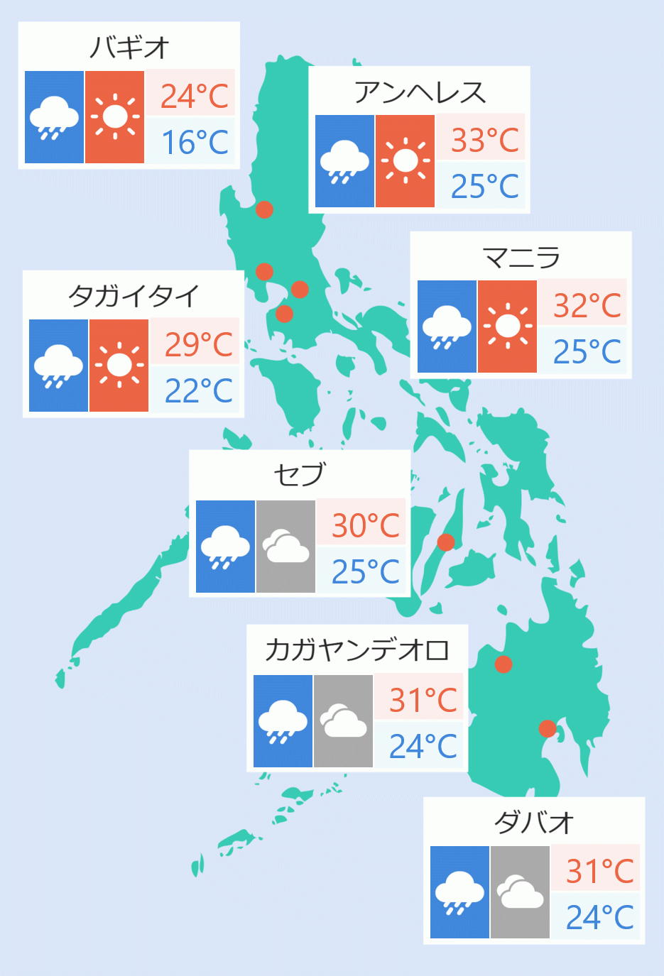
Metro Manila won't be directly affected by ''Julian'' and will only experience cloudy to scattered rains caused by localized thunderstorms. Marie Manalili/DMS


 English


