Typhoon ''Betty'' slightly weakened as of Sunday afternoon's bulletin by the Philippine Atmospheric, Geophysicial, and Astronomical Services Administration (Pagasa) on Sunday.
It was located 630 kilometers east of Tuguegarao City as it moves west-northwest over the Philippine Sea at 15 kilometers per hour.
''Betty'' has maximum sustained winds of 165 kilometers per hour and gusts of up to 205 kilometers per hour. In Pagasa's 11 am bulletin, ''Betty'' had winds of 175 kilometers and gusts of up to 215 kilometers per hour. It has central pressure of 940 hectopascals.
Tropical Cyclone Wind Signal Number is up over Batanes, Cagayan including Babuyan Islands, Isabela, Apayao, Ilocos Norte, the northern and central portions of Abra (Tineg, Lacub, Lagayan, San Juan, Lagangilang, Licuan-Baay, Malibcong, Danglas, La Paz, Dolores, Tayum, Bucay, Sallapadan, Daguioman, Bucloc, Boliney), Kalinga, the eastern and central portions of Mountain Province (Sadanga, Barlig, Natonin, Paracelis, Bontoc), the eastern and central portions of Ifugao (Mayoyao, Aguinaldo, Alfonso Lista, Banaue, Hingyon, Lagawe, Lamut, Kiangan, Asipulo), the northern and central portions of Aurora (Dilasag, Casiguran, Dinalungan, Dipaculao), Quirino and the northeastern portion of Nueva Vizcaya (Kasibu, Quezon, Solano, Bagabag, Diadi, Villaverde, Bayombong, Ambaguio).
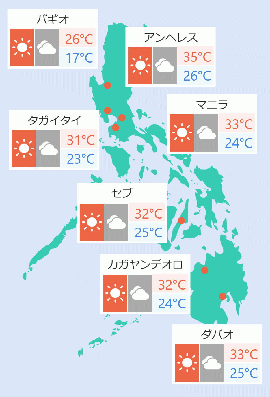
Rains are expected over Batanes, Cagayan and other areas in northern Luzon, Pagasa said. It added there are less chances of rain in Metro Manila.
''Betty'' will move west northwestward or northwestward for the next 36 hours while gradually decelerating, Pagasa said.
''The typhoon will likely become slow-moving to almost stationary by Tuesday while over the waters east of Batanes. It will then move northward or north northeastward by mid Wednesday towards the sea east of Taiwan,'' Pagasa said. DMS


 English


