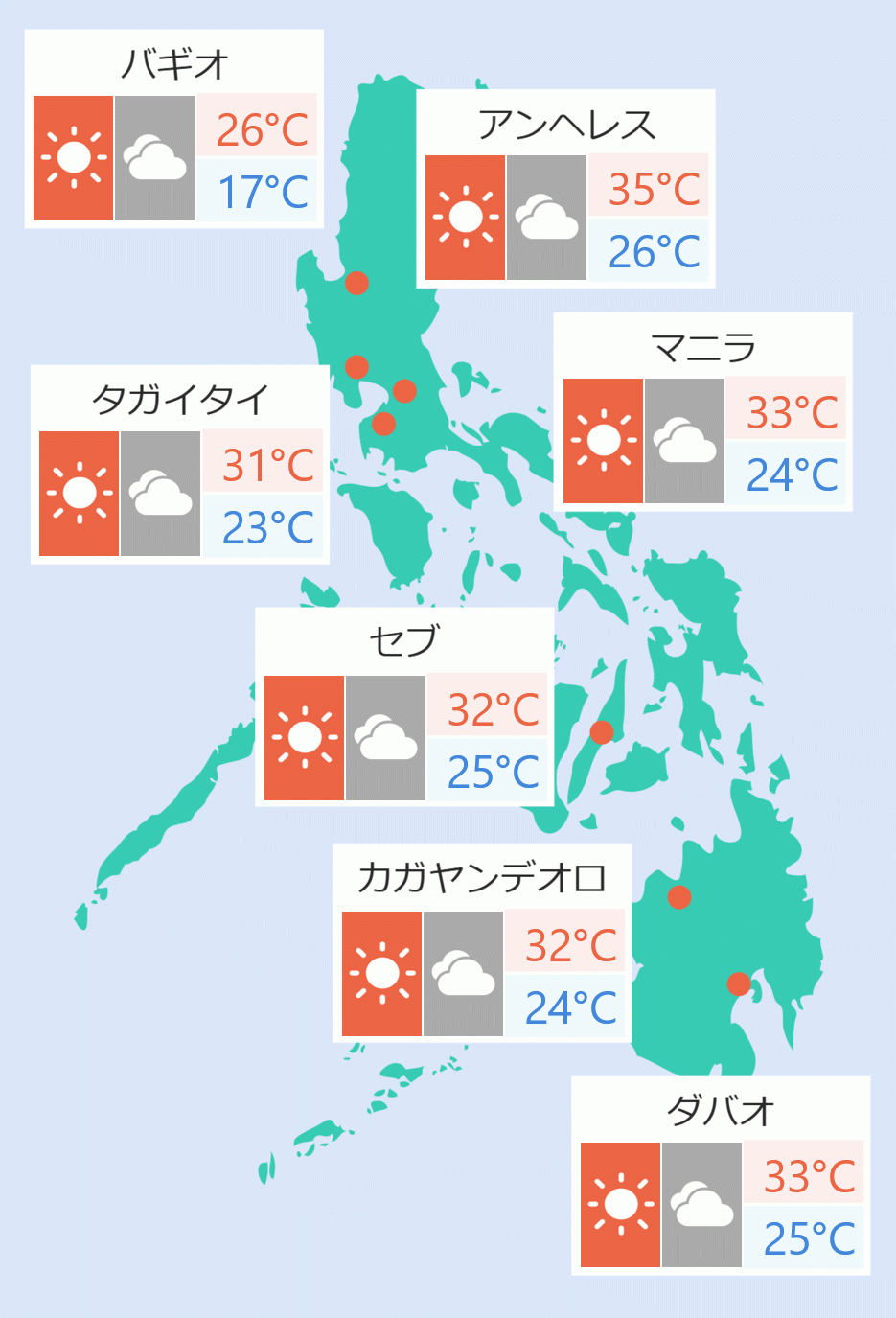
The Philippine Atmospheric, Geophysical and Astronomical Services Administration (Pagasa) said in its Monday afternoon report the low pressure area (LPA) will become a typhoon for the next 48 hours.
Dan Villamil, Pagasa weather specialist, said "It (low pressure area) continuously moves generally westward to our archipelago."
Villamil said at 3 pm it was last seen 750 km east of Borongan City, Eastern Samar.
"The LPA will cause cloudy skies with scattered rainshowers and thunderstorms in Caraga and Eastern Visayas," he added.
In its report, Pagasa said Cagayan Valley have cloudy skies with rains caused by the northeasterly surface windflow. It could expect possible flash floods or landslides due to moderate with at times heavy rains.
In the Ilocos and Cordillera Administrative regions, it will be partly cloudy to cloudy skies with light rains due to the northeasterly surface windflow.
Metro Manila and the rest of the country will be partly cloudy with isolated rainshowers or thunderstorms. Flash floods or landslides could be expected during severe thunderstorms.
The Office of Civil Defense (OCD) will meet on Monday afternoon to discuss preparations for the low pressure area which may bring heavy rains and floods.
“We are going to look at the effects and anticipate them. Even if it’s just an LPA, we are going to be ready for it so we activate the preparedness activities which will lead to responses in the event that it escalates,” OCD Assistant Secretary Raffy Alejandro IV said. Jaspearl Tan-Eric Acidre/DMS


 English


