Super typhoon “Hinnamnor” entered the Philippine Area of Responsibility (PAR) at 5:30 pm Wednesday, the Philippine Atmospheric, Geophysical and Astronomical Services Administration (Pagasa) said.
“Hinnamnor”, which was given the local name “Henry”, is forecast to remain stationary from Thursday to Friday over the east of Taiwan or east of Batanes.
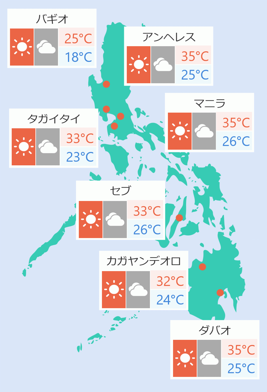
Rains are expected in some parts of the country, including Metro Manila, due to the trough of Tropical Depression ''Gardo'' and the enhanced southwest monsoon, Pagasa said.
The howler was located 1,080 kilometers northeast of extreme Northern Luzon. It had maximum winds of 195 km/h and gusts of up to 240 km/h.
“Henry” is moving west southwest at 25 km/h.
Even if “Henry” is not expected to make landfall, it is expected to bring strong winds to Central and Northern Luzon due to the enhanced southwest monsoon, Pagasa said.
The center of tropical depression “Gardo” was last seen 1,080 km east of extreme Northern Luzon, Pagasa added.
''Gardo'', which had maximum winds of 55 kilometers per hour and gusts of up to 70 kilometers per hour, is heading north at 10 kilometers per hour towards super typhoon “Henry”. Jaspearl Tan/DMS


 English


